
Enter air temperature and wind speed to find the real-feel cold temperature, frostbite risk time and personalised cold-weather safety advice — instantly.

Temperature unit
Note: the NWS wind chill formula is valid for temperatures ≤ 50°F (10°C) and wind speeds ≥ 3 mph (4.8 km/h).
Wind chill — also called the wind chill factor or feels-like temperature in cold weather — measures how much colder the human body perceives the air to be when wind is factored in with the actual air temperature. It was refined into its modern form in 2001 by the U.S. National Weather Service (NWS) and Environment Canada, replacing an older formula from the 1940s.
The mechanism is straightforward: your skin is always surrounded by a thin layer of air warmed by body heat. Wind strips this insulating layer away, forcing the body to lose heat faster to the surrounding cold air. The stronger the wind, the faster that warm boundary layer is replaced with cold air, and the colder the exposed skin feels — even though the thermometer reading has not changed.

The modern wind chill index uses this regression equation, based on skin heat-transfer models:
WC = 35.74 + 0.6215·T − 35.75·V0.16 + 0.4275·T·V0.16
where T = air temperature (°F), V = wind speed (mph, at 3 mph or higher)
The formula is only valid for temperatures at or below 50°F (10°C) and wind speeds at or above 3 mph (4.8 km/h) — below that threshold, wind has negligible effect on perceived temperature and the actual air temperature is used instead.
| Wind Chill (°F) | Wind Chill (°C) | Category | Frostbite Time |
|---|---|---|---|
| 32°F and above | 0°C and above | Low Risk | No significant risk |
| 0 – 31°F | −18 – 0°C | Caution | Over 30 minutes |
| −17 – −1°F | −27 – −18°C | Danger | 10 – 30 minutes |
| −34 – −18°F | −37 – −28°C | Extreme Danger | 5 – 10 minutes |
| −35°F and below | −37°C and below | Severe Danger | Under 5 minutes |
Source: U.S. National Weather Service. Frostbite times assume exposed, dry skin. Wet skin, higher wind gusts, and prolonged exposure shorten these times significantly.
Consider a winter day at 20°F (−7°C). With calm air the cold is manageable for a bundled-up person. Add a 25 mph (40 km/h) wind and the wind chill drops to roughly −2°F (−19°C) — cold enough to cause frostbite on exposed skin within 30 minutes. That 22-degree perceived drop comes entirely from wind stripping away the body's insulating air layer.
A second example: 0°F (−18°C) with a 35 mph (56 km/h) wind — common during a winter storm — produces a wind chill of approximately −32°F (−36°C), squarely in the Extreme Danger category with frostbite possible in as little as 10 minutes. This is why wind chill warnings matter as much as raw temperature forecasts during cold snaps.
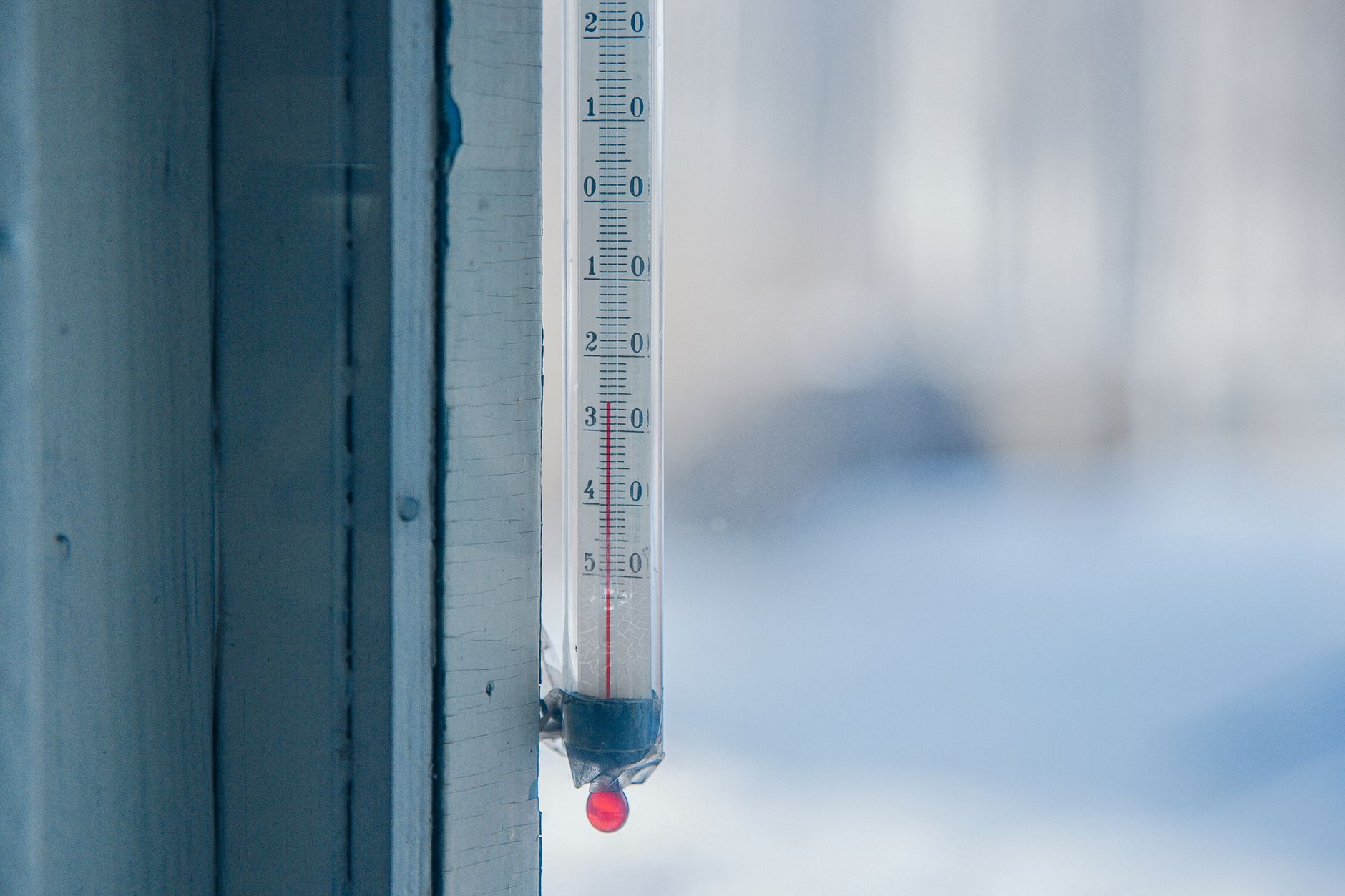
The wind chill index is calculated for exposed facial skin on an average adult walking into the wind. Several groups face significantly greater risk at the same wind chill reading:
Wind chill and heat index are companion tools that describe how the body perceives temperature at opposite extremes. Wind chill quantifies how wind accelerates heat loss in cold weather, making it feel colder than the thermometer reads. Heat index quantifies how humidity slows evaporative cooling in hot weather, making it feel hotter than the thermometer reads. Together they form the "feels like" temperature reported by most weather services year-round — use wind chill below 50°F (10°C) and heat index above 80°F (27°C).
Wind chill is the apparent temperature — what the air actually feels like on exposed skin — when wind speed is combined with air temperature. It matters because wind strips away the thin layer of warm air that naturally insulates your skin, accelerating heat loss and making cold weather significantly more dangerous than temperature alone would suggest. A wind chill below −18°F (−28°C) puts exposed skin at risk of frostbite within 10 to 30 minutes.
Any combination that produces a wind chill below 0°F (−18°C) falls in or near the NWS Danger category. Common dangerous combinations include: 10°F at 25 mph wind, 0°F at 15 mph wind, or −10°F at even light 10 mph wind. Below −35°F (−37°C) wind chill, conditions are Severe Danger — frostbite can occur on exposed skin in under 5 minutes.
They are closely related but not always identical. Wind chill is the specific NWS/Environment Canada formulation for cold, windy conditions. "Feels like" or "apparent temperature" is a broader term some weather apps use to blend wind chill (in cold weather) and heat index (in hot weather) into a single year-round value, which is why readings can differ slightly between services.
No. Wind chill only describes how living skin loses heat faster in wind — it does not make inanimate objects colder than the actual air temperature. A car engine, water pipe, or thermometer bulb will still cool down to the actual air temperature, not the wind chill temperature, regardless of wind speed.
Wind chill drops sharply as wind speed increases from calm up to about 30–40 mph, after which additional wind speed produces smaller further drops because the insulating air layer around skin is already being replaced almost instantly. This is why the formula uses wind speed raised to the power 0.16 — a diminishing-returns curve rather than a straight line.
Frostbite is localized tissue damage from freezing, usually affecting fingers, toes, ears, nose and cheeks — it starts with numbness and white or waxy skin. Hypothermia is a whole-body emergency where core temperature drops below 95°F (35°C), causing shivering, confusion, slurred speech and eventually loss of consciousness. Both require warming, but hypothermia is immediately life-threatening and needs emergency care.
Yes. The wind chill scale reflects perceived temperature, not a pass/fail freezing threshold. A reading of 35°F wind chill (above freezing) can still feel uncomfortably cold to someone in light clothing, even though frostbite risk at that level is minimal for properly dressed individuals.
Above 50°F (10°C), wind has minimal additional cooling effect on the body relative to the ambient temperature, so a separate cold-weather model is unnecessary. Below 3 mph (4.8 km/h), air movement is too light to meaningfully strip the insulating boundary layer around skin, so the calculator reports the actual air temperature instead of an artificially adjusted value.